New Road Through Countryside
Introduction
The photograph on this page of New Road Through Countryside by Peter Kochut as part of the Geograph project.
The Geograph project started in 2005 with the aim of publishing, organising and preserving representative images for every square kilometre of Great Britain, Ireland and the Isle of Man.

There are currently over 7.5m images from over 14,400 individuals and you can help contribute to the project by visiting https://www.geograph.org.uk
New Road Through Countryside
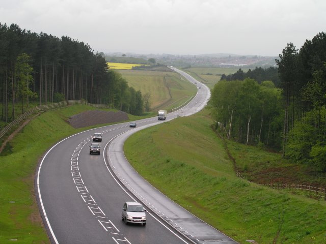
Image: © Peter Kochut Taken: 21 May 2005
The aptly named "MARR" road, opened in 2005, not yet shown on the OS map. Here shown cutting through the Stonehills Plantation and across Cauldwell Road. Picture taken from the new A611 bridge. Just above the little yellow field is a hill with a single tree visible on top. This is Hamilton Hill, something of a local landmark at SK520589.
Images are licensed for reuse under creativecommons.org/licenses/by-sa/2.0
Image Location
Latitude
53.117384
Longitude
-1.199118