Pasture near Swinmore Common
Introduction
The photograph on this page of Pasture near Swinmore Common by Bob Embleton as part of the Geograph project.
The Geograph project started in 2005 with the aim of publishing, organising and preserving representative images for every square kilometre of Great Britain, Ireland and the Isle of Man.

There are currently over 7.5m images from over 14,400 individuals and you can help contribute to the project by visiting https://www.geograph.org.uk
Pasture near Swinmore Common
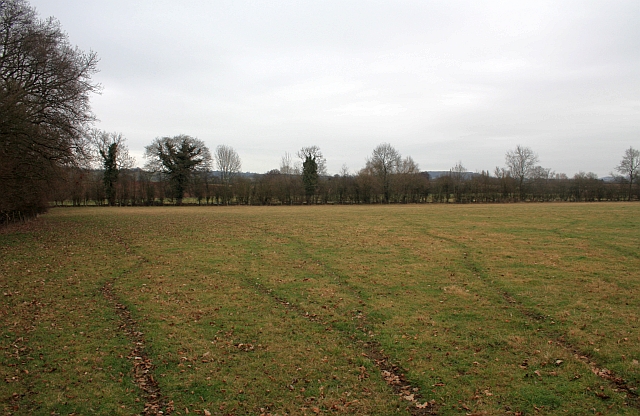
Image: © Bob Embleton Taken: 18 Feb 2009
Between the Primitive Methodist Chapel and the route of the canal. The canal followed the opposite hedgeline.
Images are licensed for reuse under creativecommons.org/licenses/by-sa/2.0
Image Location
Latitude
52.074055
Longitude
-2.475012