Fields below Bolster Moor
Introduction
The photograph on this page of Fields below Bolster Moor by Stephen Craven as part of the Geograph project.
The Geograph project started in 2005 with the aim of publishing, organising and preserving representative images for every square kilometre of Great Britain, Ireland and the Isle of Man.

There are currently over 7.5m images from over 14,400 individuals and you can help contribute to the project by visiting https://www.geograph.org.uk
Fields below Bolster Moor
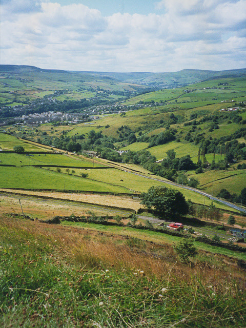
Image: © Stephen Craven Taken: 13 Aug 1993
A view looking down the steep hillside of Crimble Clough, with Slaithwaite in the bottom of the Colne Valley in the middle distance and the Pennine ridge above Marsden on the horizon.
Images are licensed for reuse under creativecommons.org/licenses/by-sa/2.0
Image Location
Latitude
53.633708
Longitude
-1.874292