North-County Primary School, Ropery Road
Introduction
The photograph on this page of North-County Primary School, Ropery Road by Anne-Marie Taylor as part of the Geograph project.
The Geograph project started in 2005 with the aim of publishing, organising and preserving representative images for every square kilometre of Great Britain, Ireland and the Isle of Man.

There are currently over 7.5m images from over 14,400 individuals and you can help contribute to the project by visiting https://www.geograph.org.uk
North-County Primary School, Ropery Road
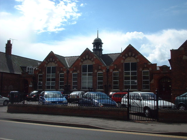
Image: © Anne-Marie Taylor Taken: 5 May 2004
This large primary school was built in 1906 in a style typical of Lincolnshire schools at that time. A particular feature is the twin bell towers (one for the girls, one for the boys) which reflect the shape of the chimney louvres of Gainsborough Old Hall, approx. 1km south of the school. The old main hall ceiling is listed and retains many original features, including the leaks!
Images are licensed for reuse under creativecommons.org/licenses/by-sa/2.0
Image Location
Latitude
53.407825
Longitude
-0.7845