Glentrammon Recreation Ground
Introduction
The photograph on this page of Glentrammon Recreation Ground by Ian Capper as part of the Geograph project.
The Geograph project started in 2005 with the aim of publishing, organising and preserving representative images for every square kilometre of Great Britain, Ireland and the Isle of Man.

There are currently over 7.5m images from over 14,400 individuals and you can help contribute to the project by visiting https://www.geograph.org.uk
Glentrammon Recreation Ground
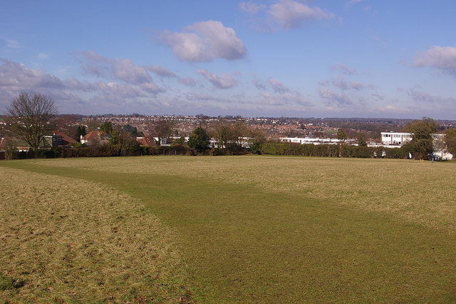
Image: © Ian Capper Taken: 13 Feb 2009
This area of grassland is on higher ground between Green Street Green and Chelsfield Station. Although is most is regularly mown for recreational activity, the northwest corner, seen here, is managed as a wildflower meadow with chalkland flora, cut once a year in autumn. In the far distance, in the centre of the photo, the towers of Canary Wharf can just be made out. The flats are in Edgewood Drive.
Images are licensed for reuse under creativecommons.org/licenses/by-sa/2.0
Image Location
Latitude
51.356048
Longitude
0.095487