Woodhead Chapel
Introduction
The photograph on this page of Woodhead Chapel by Ian Brackenridge as part of the Geograph project.
The Geograph project started in 2005 with the aim of publishing, organising and preserving representative images for every square kilometre of Great Britain, Ireland and the Isle of Man.

There are currently over 7.5m images from over 14,400 individuals and you can help contribute to the project by visiting https://www.geograph.org.uk
Woodhead Chapel
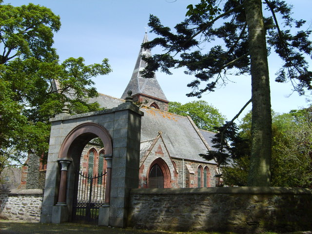
Image: © Ian Brackenridge Taken: Unknown
All Saints Church, near Fyvie. See http://www.windyhills.org/content/view/70/81/ for some history of the church, and the origins of the arch that was moved here from Kingsford near Alford in 1922.
Images are licensed for reuse under creativecommons.org/licenses/by-sa/2.0
Image Location
Latitude
57.436431
Longitude
-2.351604