Lane to Ashcombe
Introduction
The photograph on this page of Lane to Ashcombe by Derek Harper as part of the Geograph project.
The Geograph project started in 2005 with the aim of publishing, organising and preserving representative images for every square kilometre of Great Britain, Ireland and the Isle of Man.

There are currently over 7.5m images from over 14,400 individuals and you can help contribute to the project by visiting https://www.geograph.org.uk
Lane to Ashcombe
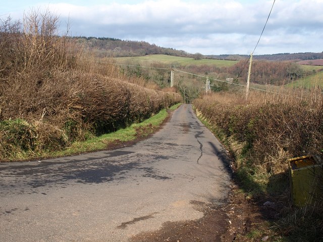
Image: © Derek Harper Taken: 15 Feb 2009
The lane from Colley End Cross descends steeply into the Charlwood valley round some very sharp bends. This is from the first of those bends, looking towards the second.
Images are licensed for reuse under creativecommons.org/licenses/by-sa/2.0
Image Location
Latitude
50.589835
Longitude
-3.532717