Bridle Road
Introduction
The photograph on this page of Bridle Road by Alan Murray-Rust as part of the Geograph project.
The Geograph project started in 2005 with the aim of publishing, organising and preserving representative images for every square kilometre of Great Britain, Ireland and the Isle of Man.

There are currently over 7.5m images from over 14,400 individuals and you can help contribute to the project by visiting https://www.geograph.org.uk
Bridle Road
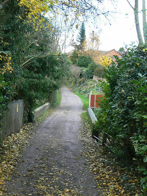
Image: © Alan Murray-Rust Taken: 14 Nov 2008
The old horseback route to Lambley, it still retains the status of bridleway, but is not a through route for vehicles, although it provides access to substantial areas of housing. It is seen here crossing the Crock Dumble.
Images are licensed for reuse under creativecommons.org/licenses/by-sa/2.0
Image Location
Latitude
52.990752
Longitude
-1.044589