Watermeadows Quedgeley
Introduction
The photograph on this page of Watermeadows Quedgeley by Peter Watkins as part of the Geograph project.
The Geograph project started in 2005 with the aim of publishing, organising and preserving representative images for every square kilometre of Great Britain, Ireland and the Isle of Man.

There are currently over 7.5m images from over 14,400 individuals and you can help contribute to the project by visiting https://www.geograph.org.uk
Watermeadows Quedgeley
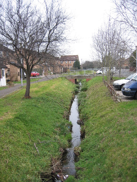
Image: © Peter Watkins Taken: 3 Feb 2006
Watermeadows is the Street name, the stream forms the district boundary with Hardwick in Stroud District to the left and Quedgeley in Gloucester to the right. This bit of Harwick can only be approached through Gloucester.
Images are licensed for reuse under creativecommons.org/licenses/by-sa/2.0
Image Location
Latitude
51.817979
Longitude
-2.285748