Former Princes Pier railway line
Introduction
The photograph on this page of Former Princes Pier railway line by Thomas Nugent as part of the Geograph project.
The Geograph project started in 2005 with the aim of publishing, organising and preserving representative images for every square kilometre of Great Britain, Ireland and the Isle of Man.

There are currently over 7.5m images from over 14,400 individuals and you can help contribute to the project by visiting https://www.geograph.org.uk
Former Princes Pier railway line
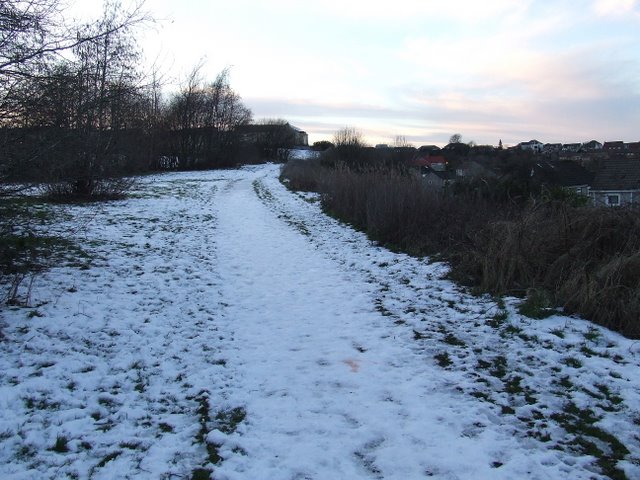
Image: © Thomas Nugent Taken: 11 Feb 2009
On an embankment behind Castle Road in the east end of Greenock. The line crosses the existing Wemyss Bay line on a bridge just beyond this point.
Images are licensed for reuse under creativecommons.org/licenses/by-sa/2.0
Image Location
Latitude
55.935762
Longitude
-4.734659