National Cycle Network route marker
Introduction
The photograph on this page of National Cycle Network route marker by Thomas Nugent as part of the Geograph project.
The Geograph project started in 2005 with the aim of publishing, organising and preserving representative images for every square kilometre of Great Britain, Ireland and the Isle of Man.

There are currently over 7.5m images from over 14,400 individuals and you can help contribute to the project by visiting https://www.geograph.org.uk
National Cycle Network route marker
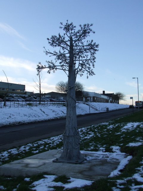
Image: © Thomas Nugent Taken: 11 Feb 2009
The 22 mile marker on Route 75 at Crosshill, Port Glasgow. Dubbs Road and part of Port Glasgow Industrial Estate are visible in the background. The Tree of Life sculpture is by Jackie Marshall.
Images are licensed for reuse under creativecommons.org/licenses/by-sa/2.0
Image Location
Latitude
55.923814
Longitude
-4.668822