Ullicker's Bridge, Borrowash
Introduction
The photograph on this page of Ullicker's Bridge, Borrowash by Mike Bardill as part of the Geograph project.
The Geograph project started in 2005 with the aim of publishing, organising and preserving representative images for every square kilometre of Great Britain, Ireland and the Isle of Man.

There are currently over 7.5m images from over 14,400 individuals and you can help contribute to the project by visiting https://www.geograph.org.uk
Ullicker's Bridge, Borrowash
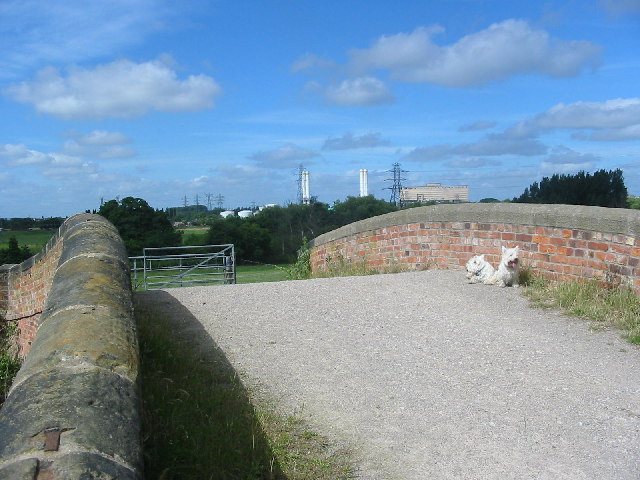
Image: © Mike Bardill Taken: 3 Jul 2005
Ullicker's Bridge provides farm access across the Derby Canal. The canal has been filled in but the Derby and Sandiacre Canal Society has plans to reopen it. The bridge was in poor condition but was renovated by the society a few years back.
Images are licensed for reuse under creativecommons.org/licenses/by-sa/2.0
Image Location
Latitude
52.906338
Longitude
-1.38441