Pappert Well Community Woodland
Introduction
The photograph on this page of Pappert Well Community Woodland by Lairich Rig as part of the Geograph project.
The Geograph project started in 2005 with the aim of publishing, organising and preserving representative images for every square kilometre of Great Britain, Ireland and the Isle of Man.

There are currently over 7.5m images from over 14,400 individuals and you can help contribute to the project by visiting https://www.geograph.org.uk
Pappert Well Community Woodland
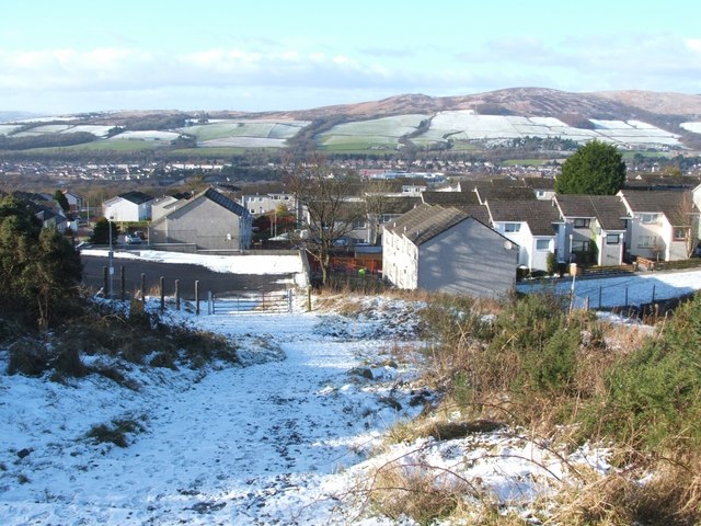
Image: © Lairich Rig Taken: 6 Feb 2009
The gate shown in this photograph is located at one of the three main entry points to Pappert Well Community Woodlands; see also Image The nearer houses beyond the gate are in the Braehead area, while the more distant background houses are in other parts of the Vale of Leven. On the skyline, in the right-hand side of the image, are Carman Hill (Image) and the muirs that lie to its north.
Images are licensed for reuse under creativecommons.org/licenses/by-sa/2.0
Image Location
Latitude
55.980223
Longitude
-4.55616