Tanaerau, Pontllyfni, Gwynedd.
Introduction
The photograph on this page of Tanaerau, Pontllyfni, Gwynedd. by Stephen Elwyn RODDICK as part of the Geograph project.
The Geograph project started in 2005 with the aim of publishing, organising and preserving representative images for every square kilometre of Great Britain, Ireland and the Isle of Man.

There are currently over 7.5m images from over 14,400 individuals and you can help contribute to the project by visiting https://www.geograph.org.uk
Tanaerau, Pontllyfni, Gwynedd.
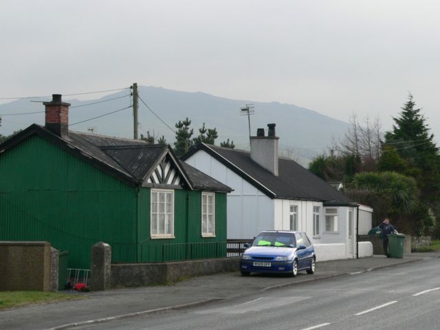
Image: © Stephen Elwyn RODDICK Taken: 3 Feb 2006
A house made from corrugated steel alongside the A499, Pontllyfni.
Images are licensed for reuse under creativecommons.org/licenses/by-sa/2.0
Image Location


Leaflet Map data © OpenStreetMap
Latitude
53.044968
Longitude
-4.337458