2009 : Lane to Marston Bigot
Introduction
The photograph on this page of 2009 : Lane to Marston Bigot by Maurice Pullin as part of the Geograph project.
The Geograph project started in 2005 with the aim of publishing, organising and preserving representative images for every square kilometre of Great Britain, Ireland and the Isle of Man.

There are currently over 7.5m images from over 14,400 individuals and you can help contribute to the project by visiting https://www.geograph.org.uk
2009 : Lane to Marston Bigot
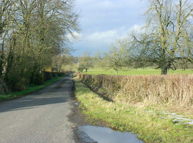
Image: © Maurice Pullin Taken: 10 Feb 2009
Cannot leave the crossroads without a look right round, this is the way to Marston Bigot, Cheese Hill and the A361.
Images are licensed for reuse under creativecommons.org/licenses/by-sa/2.0
Image Location
Latitude
51.192729
Longitude
-2.345826