Houses on Haslemere Road near Fernhurst
Introduction
The photograph on this page of Houses on Haslemere Road near Fernhurst by Shazz as part of the Geograph project.
The Geograph project started in 2005 with the aim of publishing, organising and preserving representative images for every square kilometre of Great Britain, Ireland and the Isle of Man.

There are currently over 7.5m images from over 14,400 individuals and you can help contribute to the project by visiting https://www.geograph.org.uk
Houses on Haslemere Road near Fernhurst
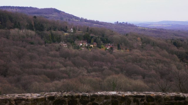
Image: © Shazz Taken: 16 Feb 2009
Haslemere Road is the A286. Black Down is the high ground on the left.
Images are licensed for reuse under creativecommons.org/licenses/by-sa/2.0
Image Location
Latitude
51.057296
Longitude
-0.720627