Re-development site.
Introduction
The photograph on this page of Re-development site. by Mike Dodman as part of the Geograph project.
The Geograph project started in 2005 with the aim of publishing, organising and preserving representative images for every square kilometre of Great Britain, Ireland and the Isle of Man.

There are currently over 7.5m images from over 14,400 individuals and you can help contribute to the project by visiting https://www.geograph.org.uk
Re-development site.
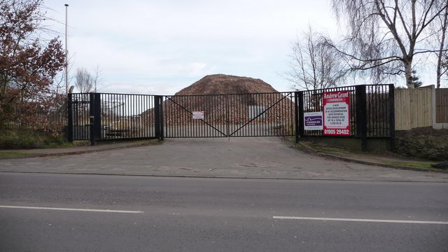
Image: © Mike Dodman Taken: 16 Feb 2009
No longer the site of Govt. Buildings, now ready to be re-developed for private sector use.
Images are licensed for reuse under creativecommons.org/licenses/by-sa/2.0
Image Location
Latitude
52.255797
Longitude
-2.157