Track crossing a stream
Introduction
The photograph on this page of Track crossing a stream by Graham Cole as part of the Geograph project.
The Geograph project started in 2005 with the aim of publishing, organising and preserving representative images for every square kilometre of Great Britain, Ireland and the Isle of Man.

There are currently over 7.5m images from over 14,400 individuals and you can help contribute to the project by visiting https://www.geograph.org.uk
Track crossing a stream
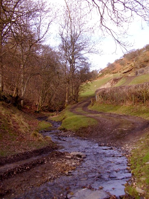
Image: © Graham Cole Taken: 16 Feb 2009
The track might once have been a well-used route to the open hills but now is mainly used by local farmers.
Images are licensed for reuse under creativecommons.org/licenses/by-sa/2.0
Image Location
Latitude
52.151595
Longitude
-3.295794