Naas Lane Industrial Area Quedgeley
Introduction
The photograph on this page of Naas Lane Industrial Area Quedgeley by Peter Watkins as part of the Geograph project.
The Geograph project started in 2005 with the aim of publishing, organising and preserving representative images for every square kilometre of Great Britain, Ireland and the Isle of Man.

There are currently over 7.5m images from over 14,400 individuals and you can help contribute to the project by visiting https://www.geograph.org.uk
Naas Lane Industrial Area Quedgeley
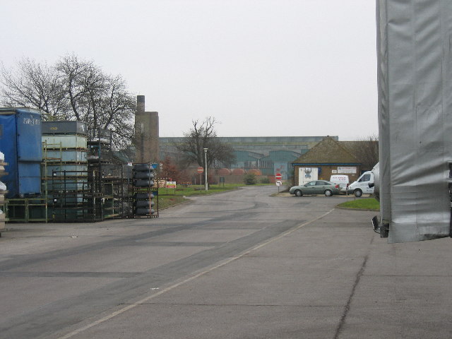
Image: © Peter Watkins Taken: 3 Feb 2006
These enormous buildings were once RAF Quedgeley, and were probably in existence when the 1940s map was published, but there is no trace on the early map, They are due for demolition to be converted into more modern sheds, which will raise rents, thus forcing many businesses elsewhere.
Images are licensed for reuse under creativecommons.org/licenses/by-sa/2.0
Image Location
Latitude
51.818017
Longitude
-2.26979