Breakneck Hill
Introduction
The photograph on this page of Breakneck Hill by Derek Harper as part of the Geograph project.
The Geograph project started in 2005 with the aim of publishing, organising and preserving representative images for every square kilometre of Great Britain, Ireland and the Isle of Man.

There are currently over 7.5m images from over 14,400 individuals and you can help contribute to the project by visiting https://www.geograph.org.uk
Breakneck Hill
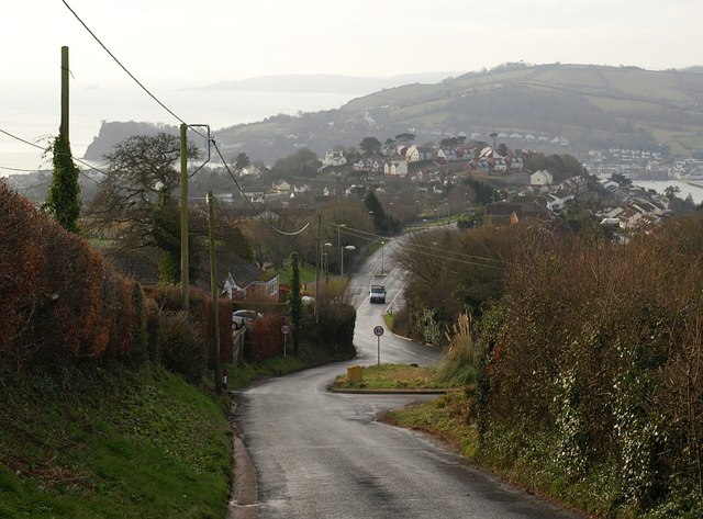
Image: © Derek Harper Taken: 13 Feb 2009
A view down Image to the junction shown in Image Along the Exeter Road is the new St Lukes development in Image
Images are licensed for reuse under creativecommons.org/licenses/by-sa/2.0
Image Location
Latitude
50.563579
Longitude
-3.504755