Pasture land off Grafton Lane
Introduction
The photograph on this page of Pasture land off Grafton Lane by Pauline E as part of the Geograph project.
The Geograph project started in 2005 with the aim of publishing, organising and preserving representative images for every square kilometre of Great Britain, Ireland and the Isle of Man.

There are currently over 7.5m images from over 14,400 individuals and you can help contribute to the project by visiting https://www.geograph.org.uk
Pasture land off Grafton Lane
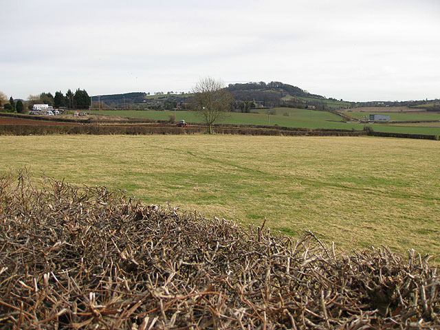
Image: © Pauline E Taken: 16 Feb 2009
With a view of Dinedor Camp, Iron Age Hill Fort and the village of Bullinghope. To the left ploughing is in progress.
Images are licensed for reuse under creativecommons.org/licenses/by-sa/2.0
Image Location
Latitude
52.033426
Longitude
-2.721226