St. Botolphs EC3
Introduction
The photograph on this page of St. Botolphs EC3 by Martin Addison as part of the Geograph project.
The Geograph project started in 2005 with the aim of publishing, organising and preserving representative images for every square kilometre of Great Britain, Ireland and the Isle of Man.

There are currently over 7.5m images from over 14,400 individuals and you can help contribute to the project by visiting https://www.geograph.org.uk
St. Botolphs EC3
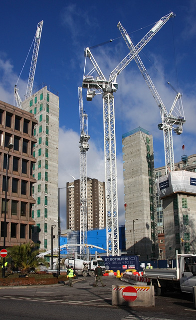
Image: © Martin Addison Taken: 13 Feb 2009
Cranes perform their ballet as another new office development rises over the City of London.
Images are licensed for reuse under creativecommons.org/licenses/by-sa/2.0
Image Location


Leaflet Map data © OpenStreetMap
Latitude
51.514844
Longitude
-0.0766