Convent of the Poor Clares
Introduction
The photograph on this page of Convent of the Poor Clares by Gordon Hatton as part of the Geograph project.
The Geograph project started in 2005 with the aim of publishing, organising and preserving representative images for every square kilometre of Great Britain, Ireland and the Isle of Man.

There are currently over 7.5m images from over 14,400 individuals and you can help contribute to the project by visiting https://www.geograph.org.uk
Convent of the Poor Clares
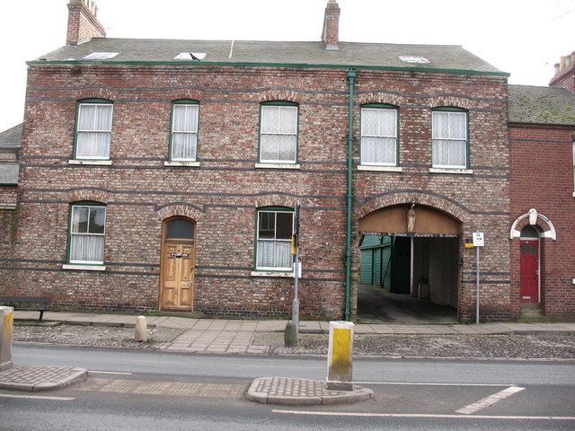
Image: © Gordon Hatton Taken: 15 Feb 2009
A rather dull Victorian building with a carriage arch which gives access to the extensive convent buildings behind.
Images are licensed for reuse under creativecommons.org/licenses/by-sa/2.0
Image Location
Latitude
53.954523
Longitude
-1.066283