The Old Tannery
Introduction
The photograph on this page of The Old Tannery by Gordon Hatton as part of the Geograph project.
The Geograph project started in 2005 with the aim of publishing, organising and preserving representative images for every square kilometre of Great Britain, Ireland and the Isle of Man.

There are currently over 7.5m images from over 14,400 individuals and you can help contribute to the project by visiting https://www.geograph.org.uk
The Old Tannery
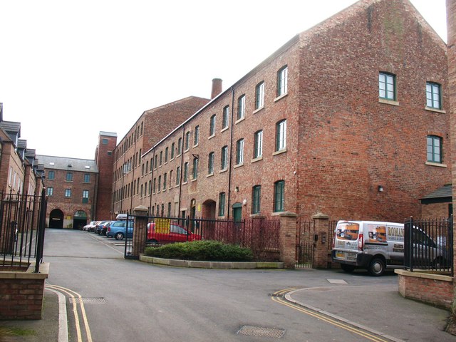
Image: © Gordon Hatton Taken: 15 Feb 2009
Situated just off Lawrence Street, the old tannery has been converted for residential use.
Images are licensed for reuse under creativecommons.org/licenses/by-sa/2.0
Image Location
Latitude
53.95455
Longitude
-1.069788