2009 : South from Cheese Hill
Introduction
The photograph on this page of 2009 : South from Cheese Hill by Maurice Pullin as part of the Geograph project.
The Geograph project started in 2005 with the aim of publishing, organising and preserving representative images for every square kilometre of Great Britain, Ireland and the Isle of Man.

There are currently over 7.5m images from over 14,400 individuals and you can help contribute to the project by visiting https://www.geograph.org.uk
2009 : South from Cheese Hill
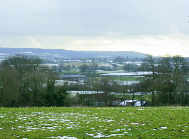
Image: © Maurice Pullin Taken: 10 Feb 2009
Looking over farmland toward Trudoxhill and Witham Friary. Alfred's Tower Image appears as a tiny blip at the top of the hill to the right.
Images are licensed for reuse under creativecommons.org/licenses/by-sa/2.0
Image Location
Latitude
51.204203
Longitude
-2.357793