Gordon Street
Introduction
The photograph on this page of Gordon Street by Gordon Hatton as part of the Geograph project.
The Geograph project started in 2005 with the aim of publishing, organising and preserving representative images for every square kilometre of Great Britain, Ireland and the Isle of Man.

There are currently over 7.5m images from over 14,400 individuals and you can help contribute to the project by visiting https://www.geograph.org.uk
Gordon Street
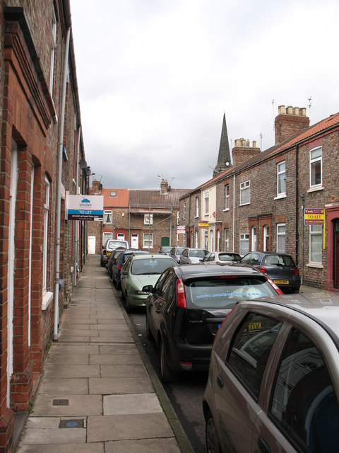
Image: © Gordon Hatton Taken: 15 Feb 2009
Street of inner York with small terraced houses of the Victorian period. The spire of St Lawrence's Church in the background.
Images are licensed for reuse under creativecommons.org/licenses/by-sa/2.0
Image Location


Leaflet Map data © OpenStreetMap
Latitude
53.952937
Longitude
-1.070433