Path from Storr Road
Introduction
The photograph on this page of Path from Storr Road by Richard Dorrell as part of the Geograph project.
The Geograph project started in 2005 with the aim of publishing, organising and preserving representative images for every square kilometre of Great Britain, Ireland and the Isle of Man.

There are currently over 7.5m images from over 14,400 individuals and you can help contribute to the project by visiting https://www.geograph.org.uk
Path from Storr Road
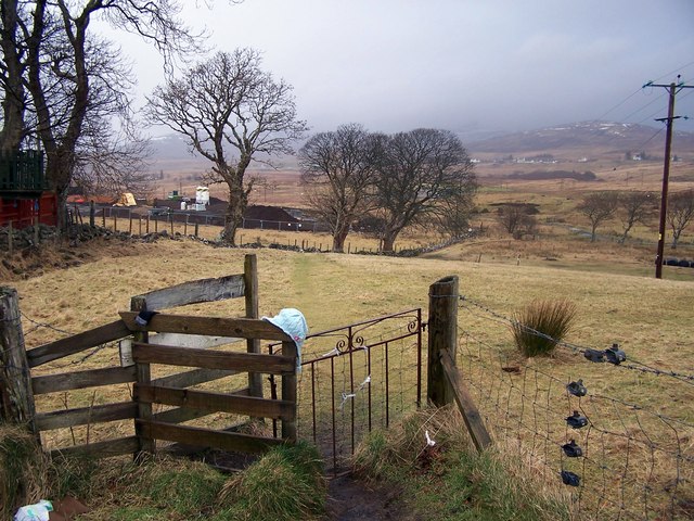
Image: © Richard Dorrell Taken: 14 Feb 2009
At the end of Storr Road, this kissing gate is at the start of a short path which leads to a track. Behind the trees on the left, building works are underway at the eastern end of the Kiltragleann development.
Images are licensed for reuse under creativecommons.org/licenses/by-sa/2.0
Image Location
Latitude
57.419764
Longitude
-6.196083