Cheshire Plain - farmland
Introduction
The photograph on this page of Cheshire Plain - farmland by Mike Harris as part of the Geograph project.
The Geograph project started in 2005 with the aim of publishing, organising and preserving representative images for every square kilometre of Great Britain, Ireland and the Isle of Man.

There are currently over 7.5m images from over 14,400 individuals and you can help contribute to the project by visiting https://www.geograph.org.uk
Cheshire Plain - farmland
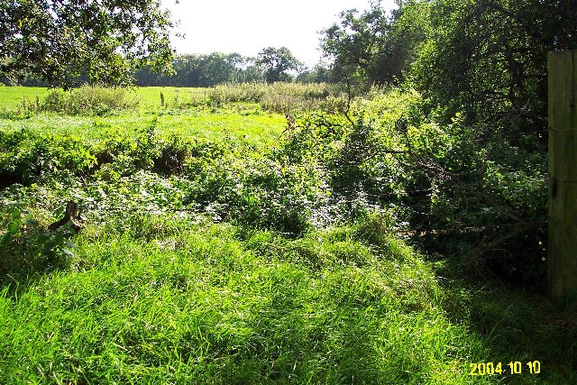
Image: © Mike Harris Taken: 10 Oct 2004
View due S from footpath Beeston 28. Lush farmland on the Cheshire Plain, in the parish of Beeston just west of the Peckforton Hills. Formerly part of the Peckforton Estate, now owned by Woodhouse Farm to the west. Line of trees on the right marks the course of Crimes Brook that marks the boundary with Tattenhall - beware, there's no bridge across the brook! Although much of the Cheshire Plain is intensively farmed, there are many little unkempt corners like this that are rich in flora and wildlife.
Images are licensed for reuse under creativecommons.org/licenses/by-sa/2.0
Image Location
Latitude
53.117471
Longitude
-2.716085