Fillingham Castle
Introduction
The photograph on this page of Fillingham Castle by Kate Nicol as part of the Geograph project.
The Geograph project started in 2005 with the aim of publishing, organising and preserving representative images for every square kilometre of Great Britain, Ireland and the Isle of Man.

There are currently over 7.5m images from over 14,400 individuals and you can help contribute to the project by visiting https://www.geograph.org.uk
Fillingham Castle
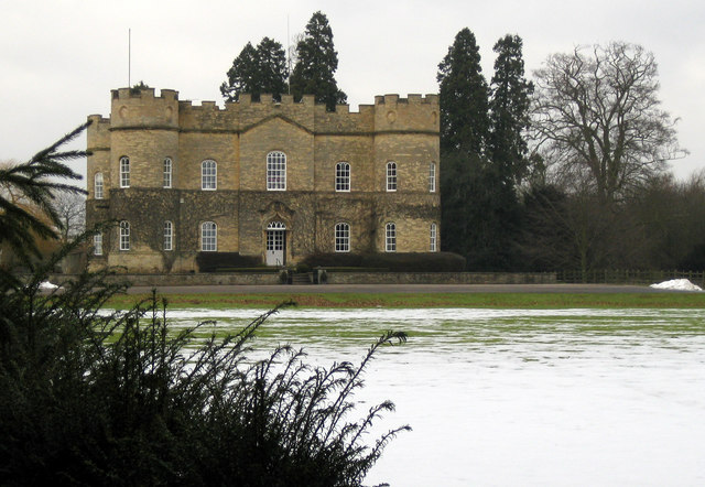
Image: © Kate Nicol Taken: 15 Feb 2009
View looking North. The house was built in approx 1770 on a raised platform. The house itself is not in this square, but this aspect butts right up to the boundary.
Images are licensed for reuse under creativecommons.org/licenses/by-sa/2.0
Image Location


Leaflet Map data © OpenStreetMap
Latitude
53.361866
Longitude
-0.563852