The Vineries
Introduction
The photograph on this page of The Vineries by Simon Carey as part of the Geograph project.
The Geograph project started in 2005 with the aim of publishing, organising and preserving representative images for every square kilometre of Great Britain, Ireland and the Isle of Man.

There are currently over 7.5m images from over 14,400 individuals and you can help contribute to the project by visiting https://www.geograph.org.uk
The Vineries
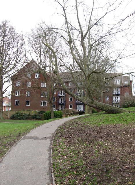
Image: © Simon Carey Taken: 15 Feb 2009
Viewed from St Anne's Well Gardens. A retirement block opened in 1991 and named after Southern Vineyards bottling plant which previously occupied the spot. Prior to that it was a laundry.
Images are licensed for reuse under creativecommons.org/licenses/by-sa/2.0
Image Location
Latitude
50.829909
Longitude
-0.153031