Davigdor Mansions
Introduction
The photograph on this page of Davigdor Mansions by Simon Carey as part of the Geograph project.
The Geograph project started in 2005 with the aim of publishing, organising and preserving representative images for every square kilometre of Great Britain, Ireland and the Isle of Man.

There are currently over 7.5m images from over 14,400 individuals and you can help contribute to the project by visiting https://www.geograph.org.uk
Davigdor Mansions
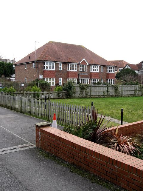
Image: © Simon Carey Taken: 15 Feb 2009
Built in 2006 in the grounds of the former Windlesham Bowling Club whose main building has now also been converted into flats. The club moved there in 1927 before moving out in 2004 merging with another club before folding. The flats have been built on the site of the former bowling green.
Images are licensed for reuse under creativecommons.org/licenses/by-sa/2.0
Image Location
Latitude
50.830237
Longitude
-0.15103