Goldsmid Road
Introduction
The photograph on this page of Goldsmid Road by Simon Carey as part of the Geograph project.
The Geograph project started in 2005 with the aim of publishing, organising and preserving representative images for every square kilometre of Great Britain, Ireland and the Isle of Man.

There are currently over 7.5m images from over 14,400 individuals and you can help contribute to the project by visiting https://www.geograph.org.uk
Goldsmid Road
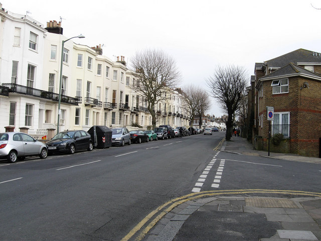
Image: © Simon Carey Taken: 15 Feb 2009
Originally part of Brighton but moved to Hove after boundary changes in 1928. The road itself once stretched to Holland Road but was changed to Davigdor Road on the old Brighton/Hove boundary in 1900 to avoid confusion. Taken from the junction of Windlesham Gardens and looking towards Seven Dials.
Images are licensed for reuse under creativecommons.org/licenses/by-sa/2.0
Image Location
Latitude
50.830828
Longitude
-0.148592