Addison Road
Introduction
The photograph on this page of Addison Road by Simon Carey as part of the Geograph project.
The Geograph project started in 2005 with the aim of publishing, organising and preserving representative images for every square kilometre of Great Britain, Ireland and the Isle of Man.

There are currently over 7.5m images from over 14,400 individuals and you can help contribute to the project by visiting https://www.geograph.org.uk
Addison Road
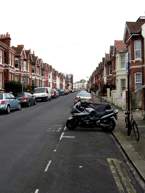
Image: © Simon Carey Taken: 15 Feb 2009
Looking towards the eastern junction with Dyke Road. The road was developed in the 1890s but only as far as Julian Road before it was extended to its final junction in 1902.
Images are licensed for reuse under creativecommons.org/licenses/by-sa/2.0
Image Location
Latitude
50.831938
Longitude
-0.150536