Wistons Clinic, Old Shoreham Road
Introduction
The photograph on this page of Wistons Clinic, Old Shoreham Road by Simon Carey as part of the Geograph project.
The Geograph project started in 2005 with the aim of publishing, organising and preserving representative images for every square kilometre of Great Britain, Ireland and the Isle of Man.

There are currently over 7.5m images from over 14,400 individuals and you can help contribute to the project by visiting https://www.geograph.org.uk
Wistons Clinic, Old Shoreham Road
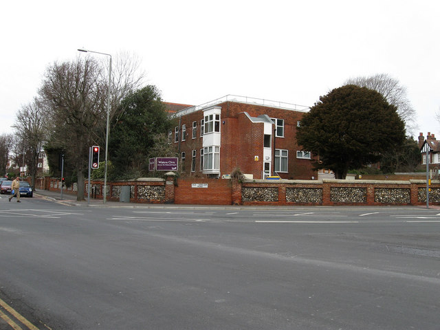
Image: © Simon Carey Taken: 15 Feb 2009
Opposite Image on the Old Shoreham Road and Dyke Road junction. Currently occupied by BPAS though previously it was a nursing home.
Images are licensed for reuse under creativecommons.org/licenses/by-sa/2.0
Image Location
Latitude
50.834001
Longitude
-0.150171