Footpath from Ormiston Road to Westcombe Park station
Introduction
The photograph on this page of Footpath from Ormiston Road to Westcombe Park station by Stephen Craven as part of the Geograph project.
The Geograph project started in 2005 with the aim of publishing, organising and preserving representative images for every square kilometre of Great Britain, Ireland and the Isle of Man.

There are currently over 7.5m images from over 14,400 individuals and you can help contribute to the project by visiting https://www.geograph.org.uk
Footpath from Ormiston Road to Westcombe Park station
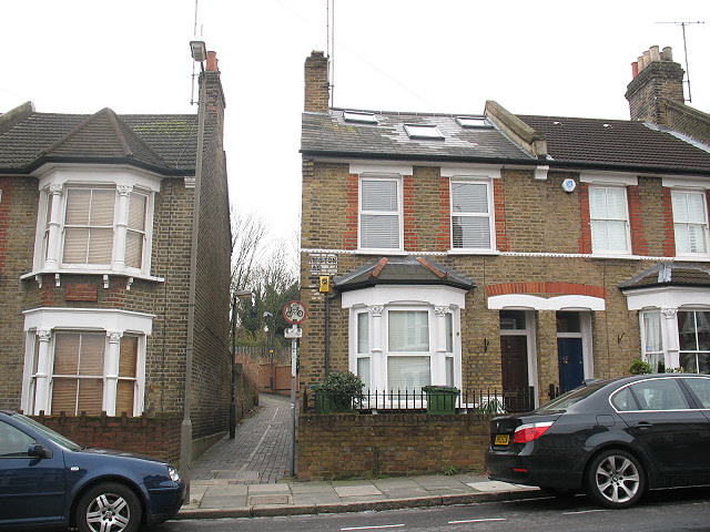
Image: © Stephen Craven Taken: 14 Feb 2009
This is the Ormiston Road end of the footpath. Confusingly, a sign below the "no cycling" sign says it is British Rail [now Network Rail] land, used as a permitted bridleway, which normally means that cycling is also permitted! I doubt that many horses use it, though.
Images are licensed for reuse under creativecommons.org/licenses/by-sa/2.0
Image Location
Latitude
51.484314
Longitude
0.017031