The A29 leaves the line of the Roman road
Introduction
The photograph on this page of The A29 leaves the line of the Roman road by Andy Potter as part of the Geograph project.
The Geograph project started in 2005 with the aim of publishing, organising and preserving representative images for every square kilometre of Great Britain, Ireland and the Isle of Man.

There are currently over 7.5m images from over 14,400 individuals and you can help contribute to the project by visiting https://www.geograph.org.uk
The A29 leaves the line of the Roman road
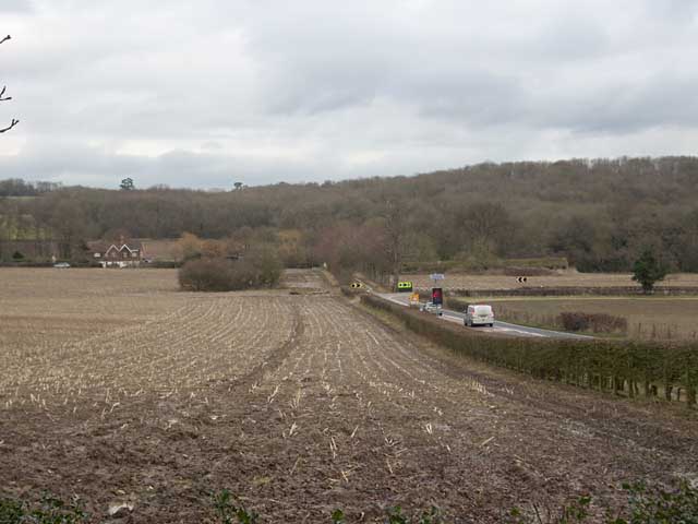
Image: © Andy Potter Taken: 11 Feb 2009
The A29 bends sharply to the right whilst Stane Street continued along the line of the modern avenue leading to Buckinghill Farm.
Images are licensed for reuse under creativecommons.org/licenses/by-sa/2.0
Image Location
Latitude
51.162383
Longitude
-0.351312