Harrow Weald: Boxtree Road
Introduction
The photograph on this page of Harrow Weald: Boxtree Road by Nigel Cox as part of the Geograph project.
The Geograph project started in 2005 with the aim of publishing, organising and preserving representative images for every square kilometre of Great Britain, Ireland and the Isle of Man.

There are currently over 7.5m images from over 14,400 individuals and you can help contribute to the project by visiting https://www.geograph.org.uk
Harrow Weald: Boxtree Road
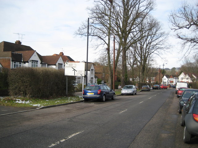
Image: © Nigel Cox Taken: 8 Feb 2009
Back three years after my previous photograph along this road but this time looking the other way, primarily to record the old road sign showing Boxtree Road approaching the A410 Uxbridge Road with directions to Rickmansworth to the left and Stanmore to the right. There are few of these old road signs left now. Boxtree Road is a B road by the way, the B459.
Images are licensed for reuse under creativecommons.org/licenses/by-sa/2.0
Image Location
Latitude
51.609759
Longitude
-0.344976