Concrete track
Introduction
The photograph on this page of Concrete track by Oxymoron as part of the Geograph project.
The Geograph project started in 2005 with the aim of publishing, organising and preserving representative images for every square kilometre of Great Britain, Ireland and the Isle of Man.

There are currently over 7.5m images from over 14,400 individuals and you can help contribute to the project by visiting https://www.geograph.org.uk
Concrete track
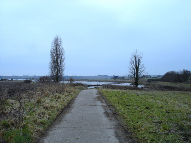
Image: © Oxymoron Taken: 15 Feb 2009
This lead for about 100 metres from the road down to the head of Levington creek, a short inlet on the Orwell.
Images are licensed for reuse under creativecommons.org/licenses/by-sa/2.0
Image Location
Latitude
52.003052
Longitude
1.258691