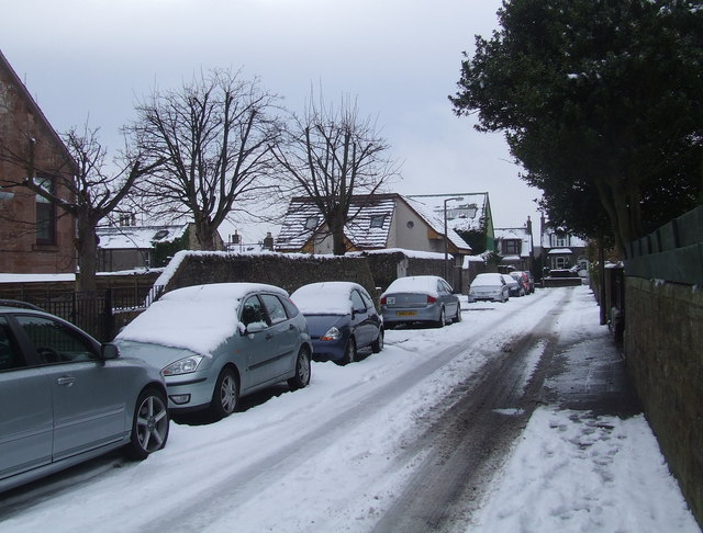
Philip Street, Carnoustie
Introduction
The photograph on this page of Philip Street, Carnoustie by Gwen and James Anderson as part of the Geograph project.
The Geograph project started in 2005 with the aim of publishing, organising and preserving representative images for every square kilometre of Great Britain, Ireland and the Isle of Man.
There are currently over 7.5m images from over 14,400 individuals and you can help contribute to the project by visiting https://www.geograph.org.uk

Image: © Gwen and James Anderson Taken: 12 Feb 2009
Taken from just before the bottom Green Lane looking towards Queen Street. The southern side of the street is largely occupied by large victorian villas. The north side is again mainly victorian but the houses are of slightly smaller proportions. A new build house can be seen partly obscured behind the tree in the centre. This represents a growing trend to subdivide the gardens of older properties for housing. The large roof behind this building is an engineering business an example of mixed residential and industrial land use.

