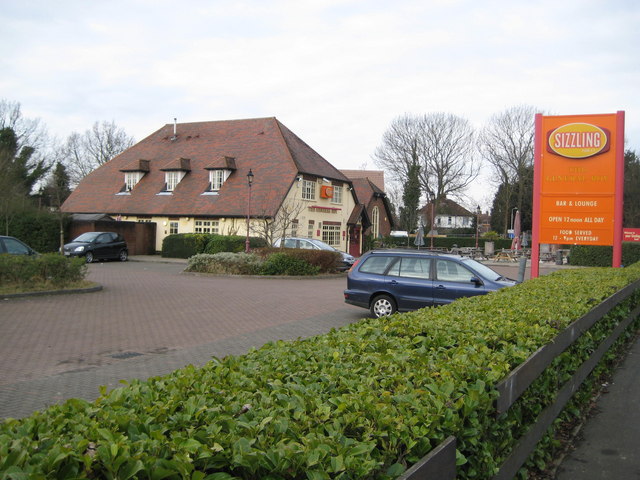
Feltham: The General Roy
Introduction
The photograph on this page of Feltham: The General Roy by Nigel Cox as part of the Geograph project.
The Geograph project started in 2005 with the aim of publishing, organising and preserving representative images for every square kilometre of Great Britain, Ireland and the Isle of Man.
There are currently over 7.5m images from over 14,400 individuals and you can help contribute to the project by visiting https://www.geograph.org.uk

Image: © Nigel Cox Taken: 8 Feb 2009
If this project was to record only one public house in the entire country this might be a suitable candidate, as the General Roy, after whom it is named, was a military engineer and surveyor who advocated the forming of the Ordnance Survey. William Roy was born in 1726 in Carluke in Lanarkshire, and first came to note as an assistant in the compilation of the military survey and maps of Highland Scotland in the 1750s following the Jacobite Revolution of 1745 and the desire to subjugate the clans. Roy was commissioned in 1755 and his technical abilities in producing maps showing the terrain and planned movements of troops in forthcoming battles gained him great respect and rapid promotion. He reached the rank of major-general in 1781, and became Director-General of the Royal Engineers in 1783. In that same year it was decided that survey observations should be undertaken to determine the relative positions of the English and French Royal observatories. One of the tasks involved in this was the very accurate measurement of a long straight line, from which angular observations could be undertaken to connect the observatories by triangulation. Hounslow Heath was selected for this purpose, being open and more or less flat. The baseline was established between King’s Arbour and Hampton Poor House. It was measured in July and August 1784 with deal rods and iron bars to be 27,404 feet and later re-measured with 1,370 placements of glass tubes as 27,406 feet. Corrections were made for the expansion of the measurement materials due to temperature variations and to reduce the distance down to what it would have been had it been possible to measure it at mean sea level. The final accepted length was 27,404.2 feet or 5.1902 miles or 8,352.9 metres. The eastern end of the baseline is marked by a cannon memorial in Roy Grove, Hampton Image and the western end by another cannon memorial on the Northern Perimeter Road of Heathrow Airport. Roy died in 1790, but the Board of Ordnance was established a year later and soon began mapping the south-east corner of England. Back to the pub, it is on Poplar Way in Feltham.

