2009 : The Warwick Arms, Clutton
Introduction
The photograph on this page of 2009 : The Warwick Arms, Clutton by Maurice Pullin as part of the Geograph project.
The Geograph project started in 2005 with the aim of publishing, organising and preserving representative images for every square kilometre of Great Britain, Ireland and the Isle of Man.

There are currently over 7.5m images from over 14,400 individuals and you can help contribute to the project by visiting https://www.geograph.org.uk
2009 : The Warwick Arms, Clutton
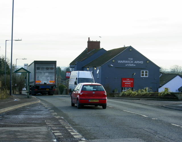
Image: © Maurice Pullin Taken: 13 Feb 2009
The A37 passes its door. The main part of the village is to the east of the main road, a ready made bypass. All the land in the parish of Clutton once belonged to the Earl of Warwick.
Images are licensed for reuse under creativecommons.org/licenses/by-sa/2.0
Image Location
Latitude
51.331872
Longitude
-2.547678