End of a terrace
Introduction
The photograph on this page of End of a terrace by Mr Ignavy as part of the Geograph project.
The Geograph project started in 2005 with the aim of publishing, organising and preserving representative images for every square kilometre of Great Britain, Ireland and the Isle of Man.

There are currently over 7.5m images from over 14,400 individuals and you can help contribute to the project by visiting https://www.geograph.org.uk
End of a terrace
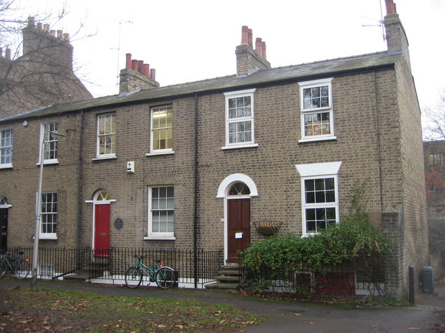
Image: © Mr Ignavy Taken: 23 Dec 2008
The houses overlook St Peter's Field, the access road at their ear is known as Bradmore Lane.
Images are licensed for reuse under creativecommons.org/licenses/by-sa/2.0
Image Location


Leaflet Map data © OpenStreetMap
Latitude
52.203004
Longitude
0.132983