Fore Street, Barton
Introduction
The photograph on this page of Fore Street, Barton by Derek Harper as part of the Geograph project.
The Geograph project started in 2005 with the aim of publishing, organising and preserving representative images for every square kilometre of Great Britain, Ireland and the Isle of Man.

There are currently over 7.5m images from over 14,400 individuals and you can help contribute to the project by visiting https://www.geograph.org.uk
Fore Street, Barton
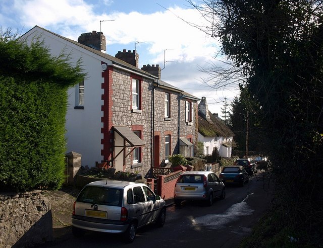
Image: © Derek Harper Taken: 7 Feb 2009
Beyond the three Victorian cottages is the thatched C16-C17 Old Manor Farmhouse, "a good example of an evolved house of late medieval origins in an area of the county mostly developed in the C19". http://www.imagesofengland.org.uk/Details/Default.aspx?id=390608&mode=adv . Seen from the junction with Barton Hill Road, closed off to traffic.
Images are licensed for reuse under creativecommons.org/licenses/by-sa/2.0
Image Location
Latitude
50.494414
Longitude
-3.539496