Brittenden Close
Introduction
The photograph on this page of Brittenden Close by Ian Capper as part of the Geograph project.
The Geograph project started in 2005 with the aim of publishing, organising and preserving representative images for every square kilometre of Great Britain, Ireland and the Isle of Man.

There are currently over 7.5m images from over 14,400 individuals and you can help contribute to the project by visiting https://www.geograph.org.uk
Brittenden Close
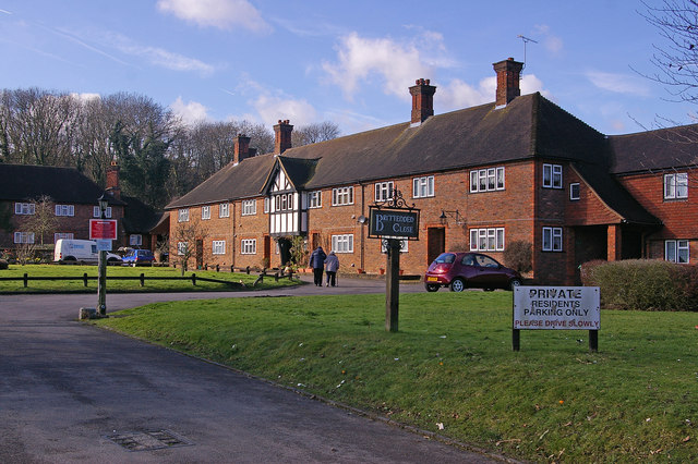
Image: © Ian Capper Taken: 13 Feb 2009
Wardened Retirement Housing dating from 1953, now managed by Broomleigh Housing Association (see also Image). It was named after a Mr J E Brittenden, who with two others had in 1943 submitted a formal plan for a large village, complete with village hall, clinic and library, sports area and schools, with clearly laid out housing within specific bounds to preserve its character. Post war austerity meant that the plans never came to fruition.
Images are licensed for reuse under creativecommons.org/licenses/by-sa/2.0
Image Location
Latitude
51.355295
Longitude
0.088817