Golf Terrace, Banbridge
Introduction
The photograph on this page of Golf Terrace, Banbridge by Albert Bridge as part of the Geograph project.
The Geograph project started in 2005 with the aim of publishing, organising and preserving representative images for every square kilometre of Great Britain, Ireland and the Isle of Man.

There are currently over 7.5m images from over 14,400 individuals and you can help contribute to the project by visiting https://www.geograph.org.uk
Golf Terrace, Banbridge
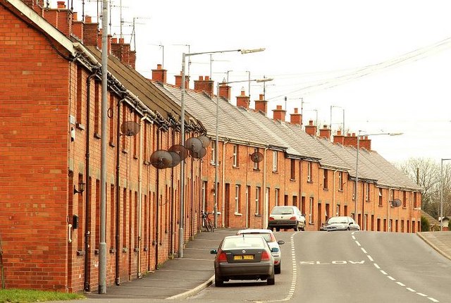
Image: © Albert Bridge Taken: 14 Feb 2009
Completed in 1930 (apparently at a cost of £8,600), Golf Terrace, on the Huntly Road, was the second housing scheme undertaken by the old Banbridge UDC (the first was Mountpleasant in 1926). See also Image and Image
Images are licensed for reuse under creativecommons.org/licenses/by-sa/2.0
Image Location
Latitude
54.355573
Longitude
-6.275601