The disused Newry Canal near Newry
Introduction
The photograph on this page of The disused Newry Canal near Newry by Albert Bridge as part of the Geograph project.
The Geograph project started in 2005 with the aim of publishing, organising and preserving representative images for every square kilometre of Great Britain, Ireland and the Isle of Man.

There are currently over 7.5m images from over 14,400 individuals and you can help contribute to the project by visiting https://www.geograph.org.uk
The disused Newry Canal near Newry
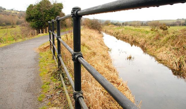
Image: © Albert Bridge Taken: 14 Feb 2009
The disused canal (looking towards Lough Neagh) immediately north of Steenson’s Bridge Image Continue to Image
Images are licensed for reuse under creativecommons.org/licenses/by-sa/2.0
Image Location
Latitude
54.219501
Longitude
-6.356251