Double bend, double trouble
Introduction
The photograph on this page of Double bend, double trouble by Gordon Hatton as part of the Geograph project.
The Geograph project started in 2005 with the aim of publishing, organising and preserving representative images for every square kilometre of Great Britain, Ireland and the Isle of Man.

There are currently over 7.5m images from over 14,400 individuals and you can help contribute to the project by visiting https://www.geograph.org.uk
Double bend, double trouble
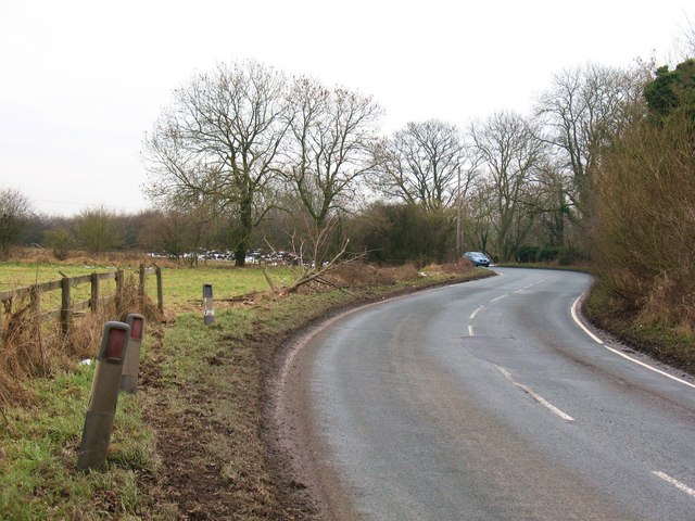
Image: © Gordon Hatton Taken: 14 Feb 2009
A double bend on the B6271, a typical winding 'B' road with blind summits, hidden dips and testing bends. The short section shown here has recent evidence of two vehicles leaving the road, smashing through the fence and demolishing a small tree, most likely because of icy conditions.
Images are licensed for reuse under creativecommons.org/licenses/by-sa/2.0
Image Location
Latitude
54.365003
Longitude
-1.556113