Housing estate off the B4536
Introduction
The photograph on this page of Housing estate off the B4536 by Trevor Rickard as part of the Geograph project.
The Geograph project started in 2005 with the aim of publishing, organising and preserving representative images for every square kilometre of Great Britain, Ireland and the Isle of Man.

There are currently over 7.5m images from over 14,400 individuals and you can help contribute to the project by visiting https://www.geograph.org.uk
Housing estate off the B4536
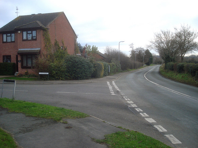
Image: © Trevor Rickard Taken: 1 Dec 2008
Large modern estates to the left of the B4536 Defford Road, which is the town boundary to the south. Although most of the Avon flood plain is to the right, this is another example of a housing estate partly built on flood plain land. The houses off Defford Road have been flooded and a half-million pound barrier is now being proposed. Turning to Cornmore to the left. http://www.worcesternews.co.uk/news/local/3879050.Pershore_in_line_for___500_000_flood_barrier/
Images are licensed for reuse under creativecommons.org/licenses/by-sa/2.0
Image Location
Latitude
52.105549
Longitude
-2.087703