Abingdon Way
Introduction
The photograph on this page of Abingdon Way by Ian Capper as part of the Geograph project.
The Geograph project started in 2005 with the aim of publishing, organising and preserving representative images for every square kilometre of Great Britain, Ireland and the Isle of Man.

There are currently over 7.5m images from over 14,400 individuals and you can help contribute to the project by visiting https://www.geograph.org.uk
Abingdon Way
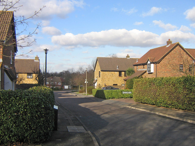
Image: © Ian Capper Taken: 30 Jan 2008
One of a number of roads in southeast Orpington named after public schools. Although most date from the development of the area before and after the second world war, this estate is more recent, dating from the 1970s or early 1980s, built on the site of the former Charerhouse Road School.
Images are licensed for reuse under creativecommons.org/licenses/by-sa/2.0
Image Location
Latitude
51.363088
Longitude
0.105117