Clerkseat Bridge and Little Clerkseat
Introduction
The photograph on this page of Clerkseat Bridge and Little Clerkseat by Anne Burgess as part of the Geograph project.
The Geograph project started in 2005 with the aim of publishing, organising and preserving representative images for every square kilometre of Great Britain, Ireland and the Isle of Man.

There are currently over 7.5m images from over 14,400 individuals and you can help contribute to the project by visiting https://www.geograph.org.uk
Clerkseat Bridge and Little Clerkseat
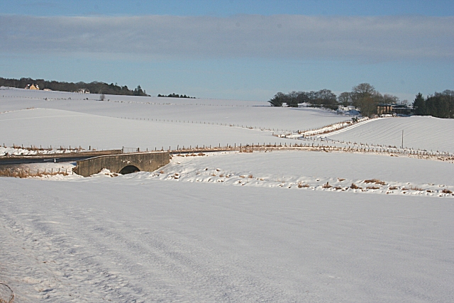
Image: © Anne Burgess Taken: 13 Feb 2009
The bridge carries the A95 over the Burn of Paithnick, and Little Clerkseat is the farm among the trees on the right. The new houses at top left of this view are not marked on the maps yet.
Images are licensed for reuse under creativecommons.org/licenses/by-sa/2.0
Image Location
Latitude
57.553074
Longitude
-2.876923